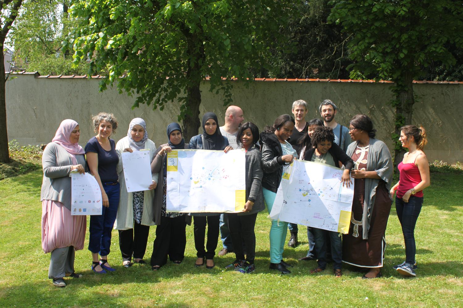
Subjective geography 2016
- workshop
A subjective map is a map created by a group of inhabitants, through workshops led by Catherine Jourdan, psychologist and documentary artist.
This map represents a group's vision of its own territory, of the city at a given time. It is not based on actual data (such as distance, arrangement and social function of a territory...) but rather on the impressions of inhabitants.
Snapshot of the city, the subjective map is a pretext to tell others about its neighborhoud, its territory, its paths. Speaking about the self and the other, the map tells and imagines a singular way to live a territory together.
This is about highlighting a sensitive geography, perfectly accurate or inaccurate, independent, personal and collective, and make it public through a map which will then be printed and made public in the city communication spaces.
Anderlecht and Brussels North
After the maps made in Saint-Gilles and in the City of Brussels, Catherine Jourdan will lead a workshop with inhabitants of Anderlecht, Neder-Over-Hembeek and Laeken.
A project by the Cifas, with the help of Centre Culturel Anderlecht - Escale du Nord. With the support of the Service of the French speaking Government of Brussels.